

Walking Hadrian's Wall, a little at a time
I wanted a road in western Europe that people could try without taking on one of the longer Journeys first. Hadrian's Wall gives that idea a clear shape: start at Wallsend, work your way across northern England, and finish at Bowness-on-Solway. At 135 km, it is the shortest of Kinoku's three original roads.
A shorter road can still have plenty to look at along the way. Kinoku gives it 11 stops, with pictures and short accounts of the places you reach. Your usual walks, runs and steps move you toward them, with no need to finish within a particular week.
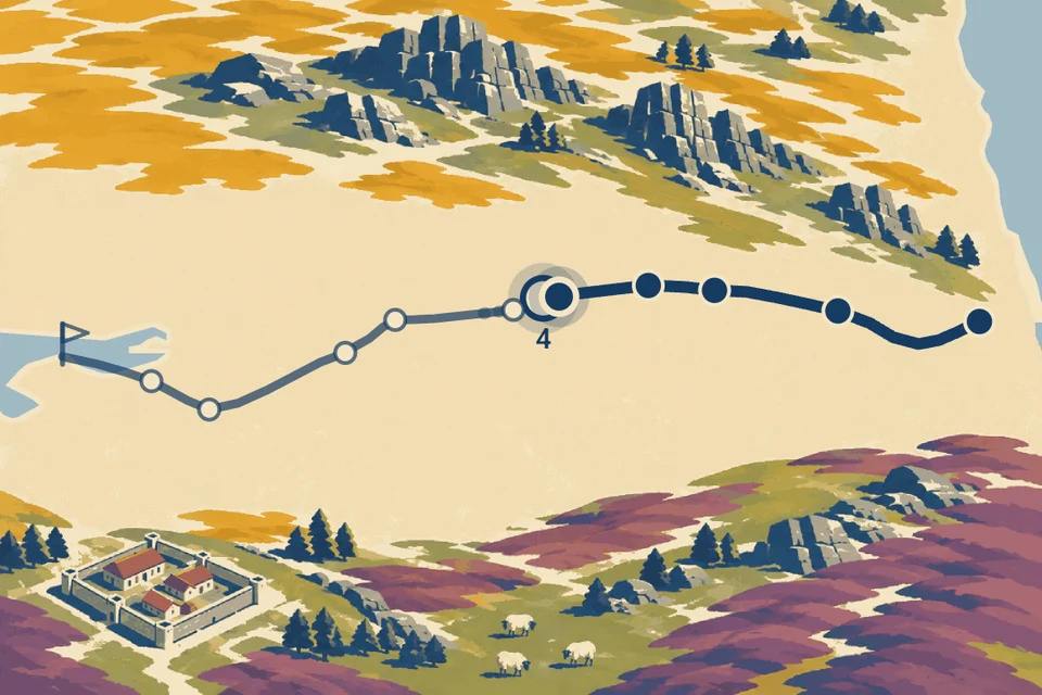
Why 135 km, when the wall is shorter?
The 135 km comes from Hadrian's Wall Path, the modern walking trail. Northumberland National Park gives its length as 84 miles, or 135 km, between Wallsend and Bowness-on-Solway. That is the distance used by Kinoku.
The Roman wall is a different measure. English Heritage describes a wall 73 modern miles long, built from the year 122 under Emperor Hadrian. A walking path alongside its remains does not cover exactly the same ground as the ancient structure, which explains why both numbers appear in accounts of the route.
Kinoku's stop distances are rounded marks along that 135 km Journey. They give you a consistent way to move from place to place in the app. They are not turn-by-turn directions or a promise about the distance between two gates on a present-day visit.
The places between the two ends
The Journey begins at Segedunum in Wallsend and reaches Heddon-on-the-Wall at 24 km. Further west, Chesters opens at 48 km, followed by Housesteads at 63 km. Those are cumulative totals: the gap from Chesters to Housesteads in Kinoku is 15 km, rather than another 63 km to cover.
Housesteads gives you a closer look at life around the frontier. English Heritage's history of the fort describes its barracks and granaries, as well as changes made over centuries of use. Reaching its stop gives the place a name and a picture before you decide how far into that history to go.
The road then carries on past the crags and Birdoswald, through Carlisle and toward the Solway. Kinoku's 11 stops are selected points along the route, rather than a list of every fort or surviving stretch of wall. The full sequence below shows exactly where each picture opens in the app.
All 11 stops and their distances
These are Kinoku's rounded progress marks, not directions for walking the route today. Each number is a total from the start.
| Stop | From the start |
|---|---|
| Segedunum (Wallsend) | 0 km |
| Heddon-on-the-Wall | 24 km |
| Port Gate | 40 km |
| Chesters | 48 km |
| Housesteads | 63 km |
| Steel Rigg and Sycamore Gap | 68 km |
| Birdoswald | 82 km |
| Lanercost | 95 km |
| Carlisle | 110 km |
| Burgh by Sands | 119 km |
| Bowness-on-Solway | 135 km |
The same road in two art editions
The original Hadrian's Wall Journey is free, including its whole route, stop stories and pictures. Sandstone Relief is a Pro edition with different artwork over the same distances. Its carved-stone look changes the pictures you uncover, while the places and the length of the road stay the same.
Both editions use illustrations made for Kinoku with an image generator. The Housesteads picture here is one of those illustrations, so it should be read as a scene made for the Journey. It is not a photograph of the ruins or a painting recovered from Roman times.
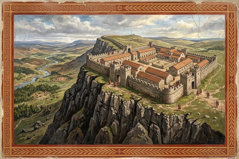
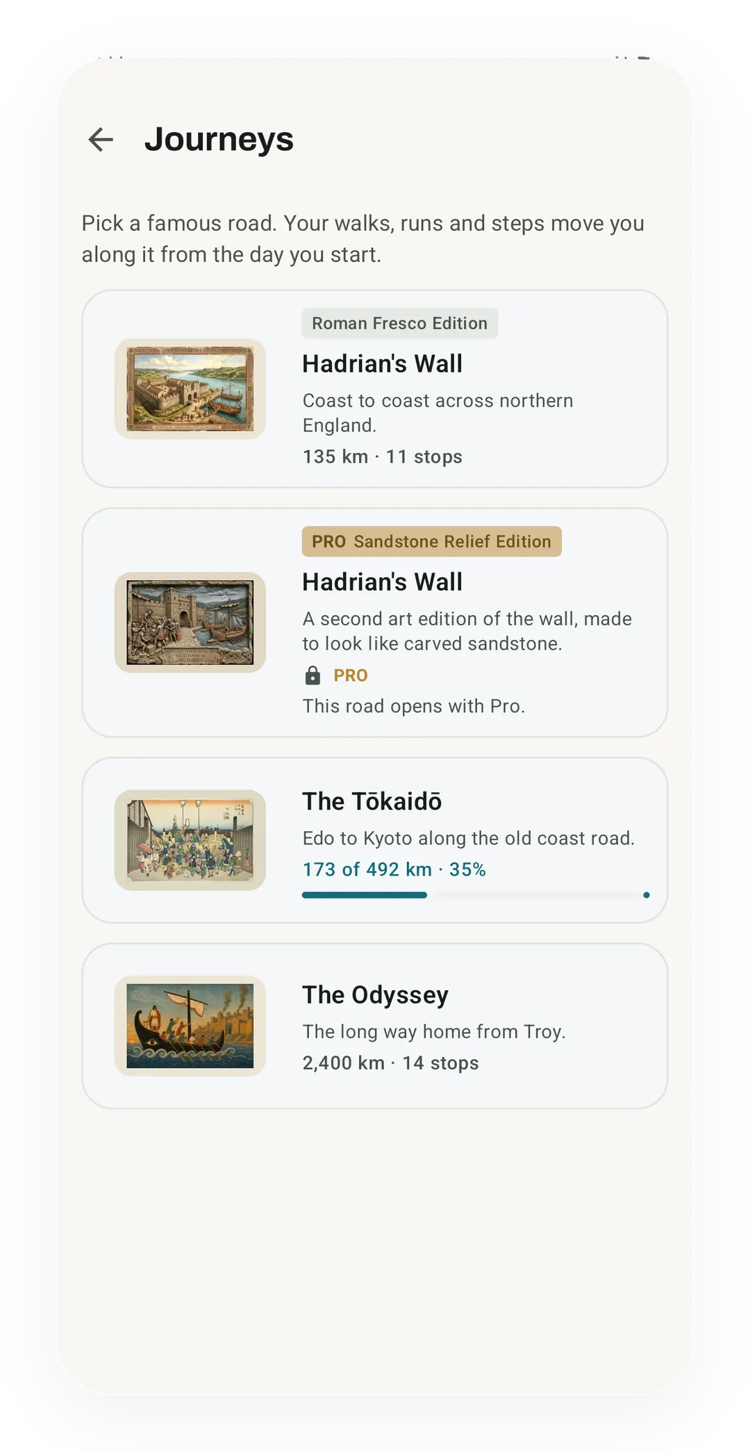
The historical sources explain the places; the pictures give you something to open when you arrive. I wanted that combination of progress and discovery to make the feature enjoyable to return to. Whether someone spends time reading the stop's story or simply looks at the picture is up to them.
What a few thousand steps add
The first stop after Wallsend is Heddon-on-the-Wall at 24 km. As an example, 6,000 eligible steps classed as walking add about 4.57 km under Kinoku 1.4's step estimate. Six such days would take you past Heddon, provided the road and its step source stayed active throughout.
That example uses the app's base estimate of 0.762 metres per walking step. Your actual step length can differ, and brisk or running steps use slightly longer estimates. The full calculation explains those assumptions and why a step count is not an exact distance measurement.
A tracked walk or run can add its recorded distance instead. Steps during tracked sessions are excluded from the extra step credit, so recording a walk does not also earn a second copy through your daily total. The Journey counts qualifying activity from the day you start, including that day; earlier history stays outside it.
Hadrian's Wall is the road I wanted people to be able to experience more easily, all the way to a finish. The Journeys guide explains how to choose it and what can count. If you try it, I'd like to hear which stop catches your attention before you reach the coast.
Related features
Try Kinoku
Core tracking works offline. No mandatory account. No Kinoku-hosted training-history cloud.
Get on Google Play →