

A familiar walk, somewhere new
After watching Christopher Nolan's The Odyssey, I kept wondering where the places they visited would be on a real map. I did a bit of research and found different opinions about where parts of the story belonged.
I had also been thinking for a while about adding something quirky and fun to Kinoku. Something that might give people a little more motivation and make the app more enjoyable to use. Those two thoughts came together in Journeys: use the movement you already record to make your way through a story, with places to reach and art to find along the way.
Giving the distance somewhere to go
You choose a road, and your steps, walks and runs move you along it. As you reach its stops, pictures and stories open up. You can see where you are, where you have been and what is coming next.
I liked the thought of giving that movement a visible place in a story. You are still walking or running wherever you normally do, but some of that distance now takes you towards another stop. There might be a picture waiting there, or something about a place you knew very little about.
Gym work can contribute too, if you choose to count it. It uses a stated conversion from lifting volume, and the app shows that part separately from distance covered on foot. The point is to offer another way to take part in the Journey, with a clear explanation of what is being counted.
The places and the pictures
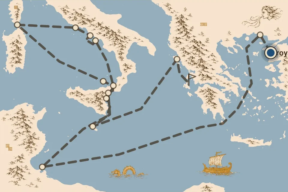
For the Odyssey, Kinoku keeps the uncertainty about its locations visible. Its map explains which places are known sites and which locations come from tradition or later attempts to place the story. The route gives you a way to follow the voyage, with room to look at what is known and what is still a matter of interpretation.
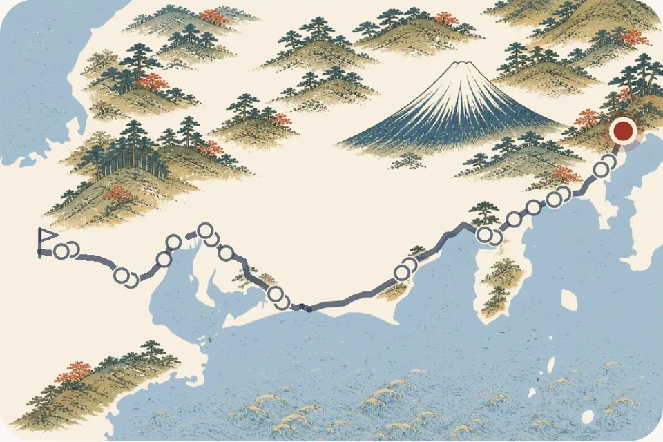
The Tōkaidō came out of the research too, and its art is a large part of why I wanted it in the app. The Journey uses Hiroshige's woodblock prints, so you have existing works of art to look at as you move along the road. Of the three journeys, this is the one I think fits Kinoku best.
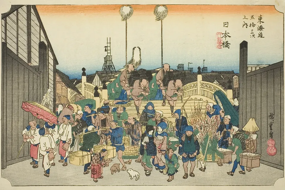
I like the combination of going somewhere and having something worth looking at when you get there. The pictures have a place in the Journey: you reach a stop, open its print and can read about the place behind it. You might come away knowing something you did not know before, even if you only opened the app to check how far you had got.
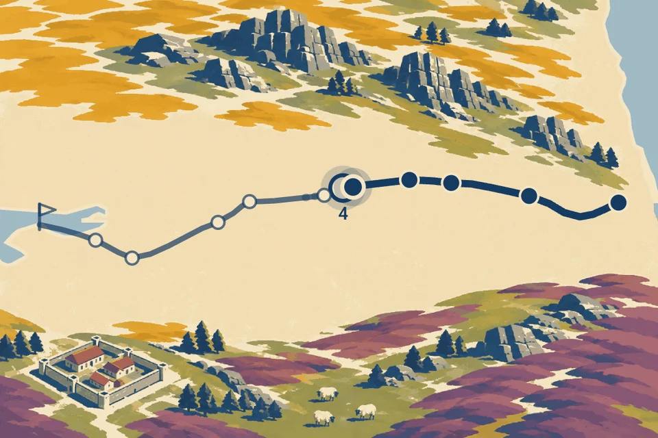
For Hadrian's Wall, I wanted a shorter road in western Europe that people could try more easily. At 135 km, it is the shortest of the three. It gives someone a way to experience a full Journey without choosing one of the longer routes first.
A reason to keep going
What I would like people to get from Journeys is a sense of progress and accomplishment, with a bit of curiosity mixed in. Reaching the next stop could be a reason to keep moving, or just a nice thing to discover after a walk you were going to take anyway.
The roads have no deadline, so you can take your time with them. I hope there is room both for someone who wants to work towards the finish and someone who mainly wants to see the pictures and find out where the road goes.
The Journeys page shows the roads and explains what counts towards them. If you try one, I would like to hear which place or picture catches your attention.
Related features
Walk Hadrian's Wall, the Tōkaidō or the Odyssey with your everyday distance. Reach a stop and uncover its picture.
Daily steps, streaks, brisk minutes, and an hour-by-hour view of how you moved.
Live pace, splits, a route map, and audio cues. Your run record is not uploaded to Kinoku; map tiles load when you view maps, and weather is a clear opt-in.
Try Kinoku
Core tracking works offline. No mandatory account. No Kinoku-hosted training-history cloud.
Get on Google Play →