

Where was Odysseus, exactly?
I kept wondering where the places in the Odyssey would sit on a real map. When I looked into it, I found different answers. That curiosity became part of the idea for Journeys: let the movement you already record carry you through a story, with places to reach along the way.
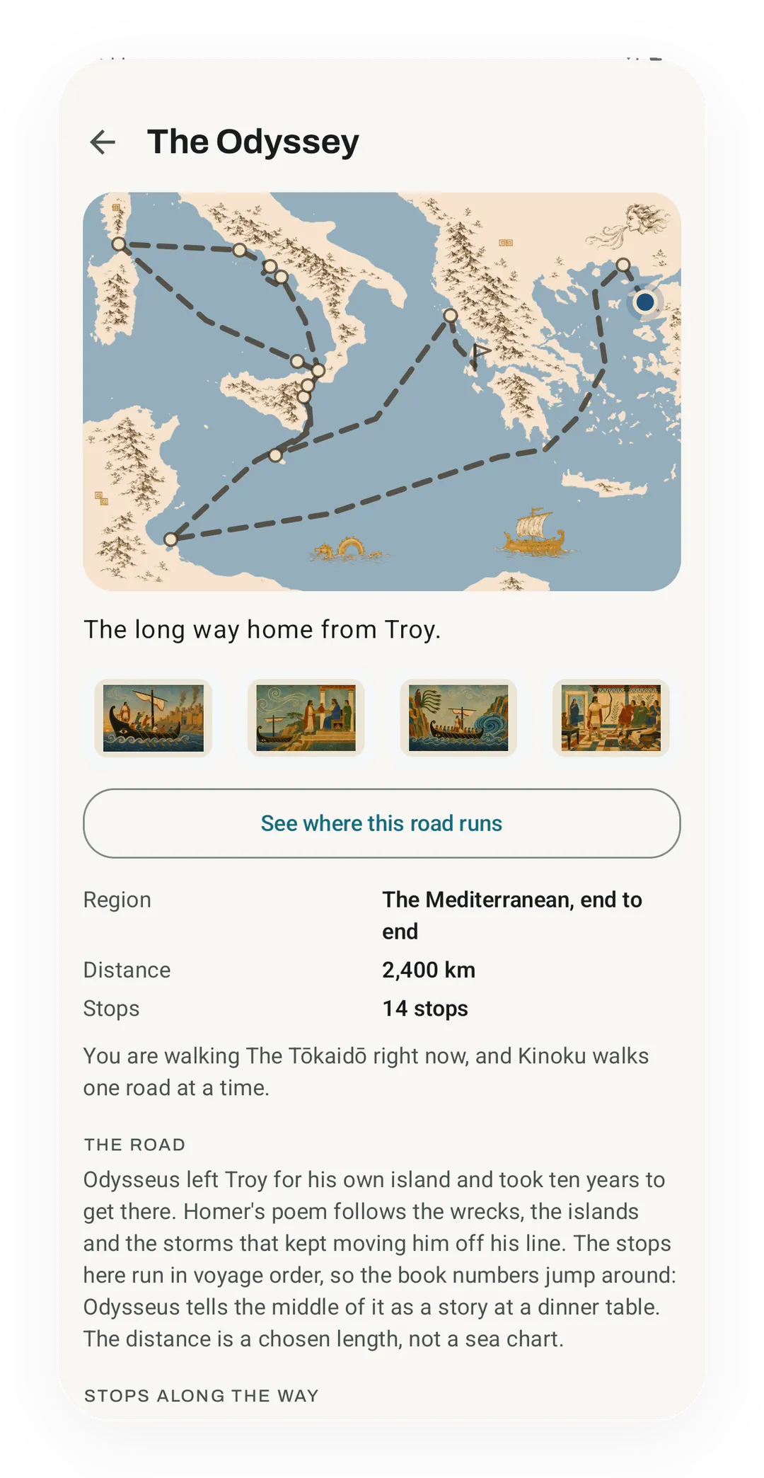
The Odyssey makes that idea a little awkward, because drawing a route can make a guess look settled. Kinoku has a map you can follow, but its stops also say what kind of claim sits behind each location. The distance you earn belongs to the Journey; the geography needs its own explanation.
The poem gives us a story to follow
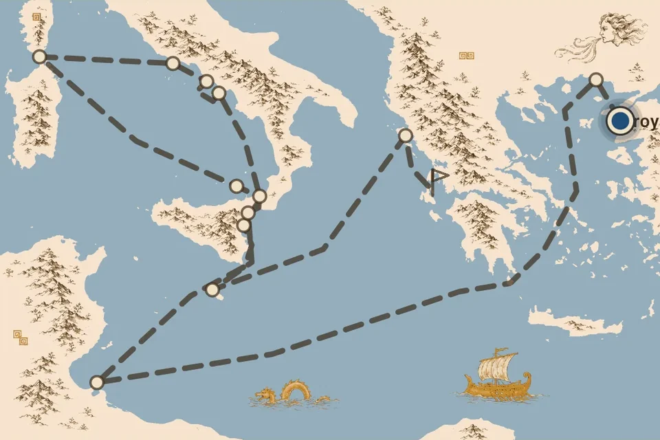
Homer names places, winds and days at sea, rather than leaving a measured route that can be copied onto a map. In Book 9, Odysseus describes being driven off course near Cape Malea and Cythera before reaching the Lotus-Eaters. Some places can be found on a map, while others are much harder to place.
The book order also differs from the order of the voyage. Calypso appears in Book 5, while the Cyclops episode comes later in the poem. Odysseus tells his hosts about that earlier part of the voyage in Book 9. Kinoku puts the stops in travel order, so you leave Troy and reach Ithaca.
Kinoku's 14 stops take in the Lotus-Eaters, the Cyclops and Circe, then the later stages of the return home. Each stop points to its book in the poem, so you can find the passage in a translation you already have.
A real place can still have an uncertain role
Troy is the clearest starting point for placing the story on a map. The World Heritage Centre's record describes the ruins at Hisarlık, in present-day Türkiye. The known-site label identifies Troy on the map, without making the rest of the poem a verified travel record.
Corfu's link to the Phaeacians rests on an ancient written account. In Thucydides, Book 1, section 25, the people of Corcyra take pride in a naval past linked to the Phaeacians. The passage gives us evidence of an old link with the story. Kinoku uses Corfu for Scheria and labels the link as tradition.
Bonifacio in Corsica carries a weaker claim in this map: a proposed setting for the Laestrygonians, whose harbour is described in Book 10. Kinoku labels that placement as a reading, so the doubt remains visible beside the pin. The pin locates Bonifacio, while the label makes clear that its link to the poem is a guess.
Of the 14 stops, one is marked as a known site, twelve as tradition and one as a reading. The whole sea route is dashed, since a line between proposed settings cannot prove where a ship sailed.
Why the Journey is 2,400 km
The Odyssey's 2,400 km is a chosen length for progress. Kinoku uses it to space out the story over a long Journey. The number comes from the app, rather than Homer or a measurement of the line on the map.
Ismaros opens at 150 km, the Lotus-Eaters at 450 km and the Cyclops at 650 km. The values control when you arrive in the app, without claiming that the real voyage covered those distances. The stop list below spells that out, with every number measured from your Journey's start.
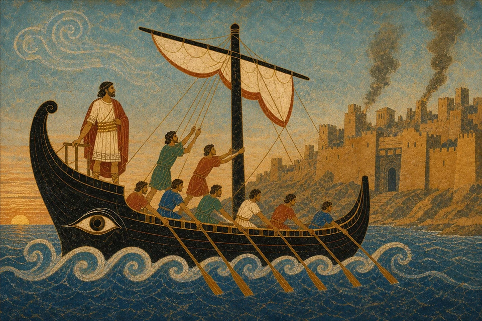
The pictures have their own limit too. They are illustrations made for Kinoku with an image generator, using a fresco-like style. The pictures help tell the story, but they are not ancient artworks or evidence for the places shown. The Tōkaidō Journey uses actual museum prints, with a different source behind each image.
All 14 stops and their distances
These are Kinoku's chosen progress marks, not measured sailing distances. Each number is a total from the start.
| Stop | From the start |
|---|---|
| Troy | 0 km |
| Ismaros | 150 km |
| The Lotus-Eaters | 450 km |
| The Cyclops | 650 km |
| The Island of Aeolus | 850 km |
| The Laestrygonians | 1,000 km |
| Circe's Island | 1,150 km |
| The Land of the Dead | 1,300 km |
| The Sirens | 1,450 km |
| Scylla and Charybdis | 1,550 km |
| Thrinacia | 1,650 km |
| Ogygia, Calypso's Island | 1,950 km |
| Scheria | 2,250 km |
| Ithaca | 2,400 km |
A long voyage made from ordinary movement
Your walks and runs can advance the Odyssey even though the story happens at sea. Daily steps can count too, using the same estimate as the other roads. For example, 10,000 counted steps classed as walking add about 7.62 km, leaving the first 150 km stop as something to build toward over time.
There is no finish-by date, so the length sets the scale of the story without setting your schedule. A pause keeps the distance already earned. The step calculation explains the estimate, and gym work has its own rule and stays separate from distance covered on foot.
What I wanted from Journeys was a sense of progress, with something fun to learn or look at along the way. Here, some of that curiosity comes from the places that remain uncertain. The Journeys guide shows how to start and what counts toward the road. If a stop sends you back to the poem or to another map, I'd like to hear where it led.
Related features
Walk Hadrian's Wall, the Tōkaidō or the Odyssey with your everyday distance. Reach a stop and uncover its picture.
Daily steps, streaks, brisk minutes, and an hour-by-hour view of how you moved.
Live pace, splits, a route map, and audio cues. Your run record is not uploaded to Kinoku; map tiles load when you view maps, and weather is a clear opt-in.
Try Kinoku
Core tracking works offline. No mandatory account. No Kinoku-hosted training-history cloud.
Get on Google Play →